EN / SV

Drone

Utilizing advanced drones for efficient aerial data collection, mapping, and site inspections for various projects.

Drone surveying – The truth from above

See the big picture. Down to every detail.

When the terrain is tough, the deadline tight, and the area large – we take to the skies. Our drones deliver precise 3D models, orthophotos, and volume calculations that give you full control of your project – quickly, safely, and without setting foot on site. We fly with precision, authorization, and discipline. Each mission is carefully planned – from flight path to data processing. The result: crystal-clear models, solid data, and no guesswork. Perfekt för:
  • Volume calculations for excavations, stockpiles, and earthworks
  • Surveying of large or hard-to-reach areas
  • 3D visualization for design and planning
  • Inspection of tall, hazardous, or inaccessible structures
Drone surveying is not just efficient – it’s the surveying of the future. We give you the overview, accuracy, and confidence to make the right decisions. Ninja Survey Consultants – we fly high so you can stand firm. Fast. Safe. Precise.

Related projects

High-speed train tunnel

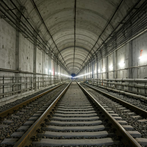
Precise tunnel measurements ensured safe and accurate construction of the new high-speed railway in Stockholm, completed in 2024.