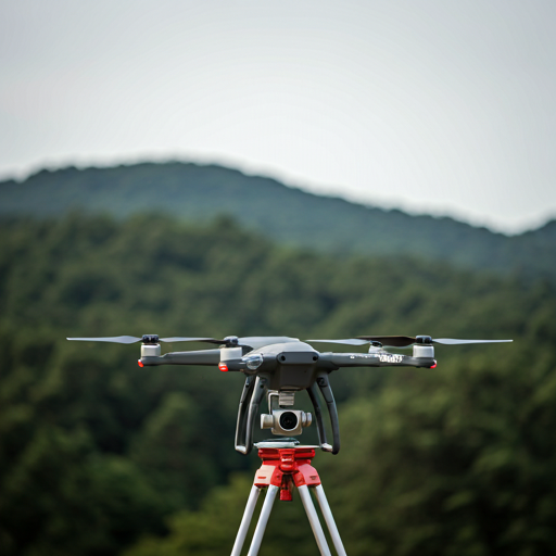
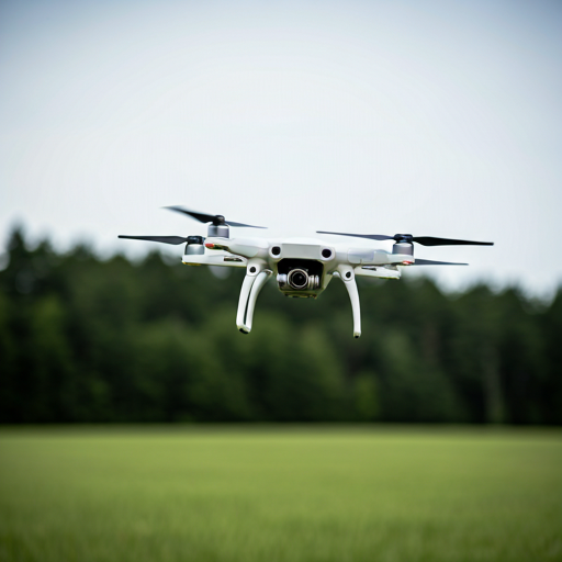
Utilizing advanced drones for efficient aerial data collection, mapping, and site inspections for various projects.
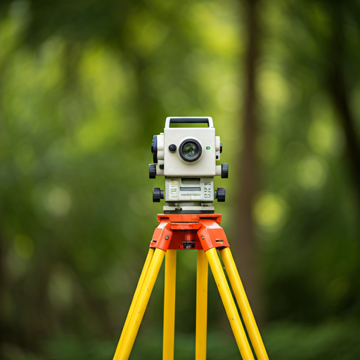
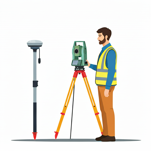
Verifying the precise location and alignment of constructed elements to ensure they meet design specifications.
Capturing detailed 3D data of structures and environments using high-precision laser scanners for accurate modeling and analysis.
Accurately calculating and managing material quantities for construction projects to optimize costs and resources.
Continuous surveying during production processes to monitor progress, ensure quality, and optimize efficiency.
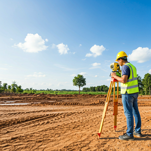
Conducting detailed surveys during the planning phase to provide essential data for design and development.
Monitoring and measuring the settlement of structures and ground to assess stability and prevent potential issues.
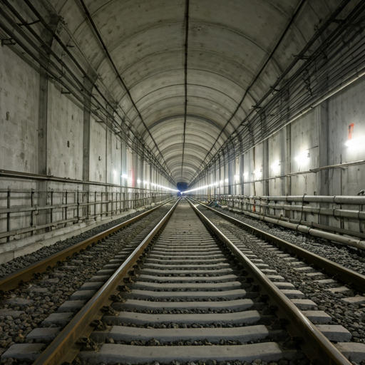
Specialized surveying services for tunnel construction, ensuring precise alignment, and safety throughout the project.
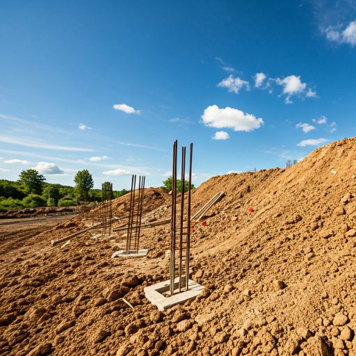
Marking out the exact positions of planned structures on a construction site based on design drawings.
Providing expert guidance and support to clients throughout the project lifecycle, ensuring smooth execution and success.